Trails: Downes Brook, Kate Sleeper, Rollins, Dicey's Mill, Walden, Lawrence, Olivarian Brook, and the Kancamagus Highway.
Total Distance: 19.8 miles Vertical Gain: 4450'
On the trail again. Jack Shirley would join us for this hike.This would be the single biggest day we'd attempted. Little did we know how big it would turn out to be.
At the trailhead ready to hike at 7 am.
A little ways in with the sun coming up.
One of the many stream crossings we encountered on the way up.
A mountain run-off cascading towards Downes Brook.
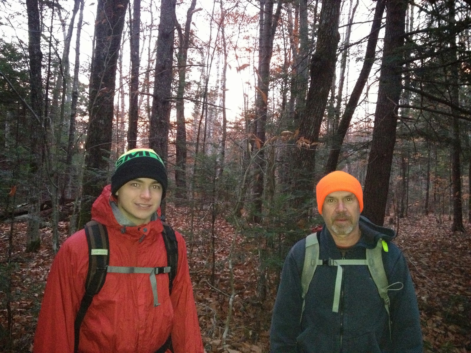
Jack and Thomas happy to be out on the trail
And we see the first snow of the year.
A little higher up. A little more snow.
Following the brook most of the way up was a long stand of Mountain Ash, with their clusters of red berries.
Thomas's boot print below; and my boot print above.
Just a father and son playing in the snow.
Jack, making headway through it all.
Finally, our 1st trail junction comes 5 miles in. This is where we meet the Kate Sleeper trail.
Now, if it were just Thomas and I, we'd take a left here towards Mt. Whiteface. But Jack is also hiking New England's Highest Hundred peaks, and East Sleeper is on his list. He's helped us out on our hikes, so we happily oblige him. Besides, it's good karma. So we head right. It's roughly a mile to the peak, and we cross a large blowdown section, which must have taken a herculian effort to clear trail through it.
A sign points us toward East Sleeper's summit.
A short trek through the woods............
....... and here we are. Our 1st summit at 11 am. Unofficial for us. Official for Jack.
We turn around and backtrack past our Downes Brook trail junction. From this point, it's just under a mile up to the Rollins trail.
This trail runs along the whole ridge of Whiteface over to Passaconaway. Just 10 minutes on it, we walk over the summit of our objective.
#38 for us. Trying to make the number 38, which we do backwards and badly.
Someone took the time to carve and mount a summit marker to a tree across the trail from the cairn.
It reads simply: Whiteface 4020'
Off we go down and across the ridge. Although it did not show up in pics, snow was falling most of the day up high. We strain to catch views through the clouds at various stops along the way.
That was the last photo my phone took before it died. Thomas takes the helm in regards to pics now.
Looking back at the summit of Whiteface from the saddle between the two.
We junction with Dicey's Mill trail, which takes us towards the top of Passaconaway.
The trail is quite steep as we climb the upper cone of the mountain.
The skies have cleared some, and we get the best views of the day.
We finally reach the top, where both the Dicey's Mill and Walden trails meet at the summit. We took one up. We'll take the other one down.
One blurry summit shot is all we got. #39 in the books for us at 3 pm. Yeah!!
From the top, we were looking at roughly 5 miles down to the road, with another mile plus to the car. Sunset would be around 5:45 p this day. We head down the Walden trail. Looking over at Mt. Chocorua. We hiked that as a family in August.
As steep as it was going up Dicey's Mill trail, it's even steeper going down the Walden trail.
We were having a tough go of it heading down. So much so we missed our turn onto the Square Ledge trail. We had dropped probably 1000' vertical before we realized our mistake. We had two choices. Either hike back up and try to find the missing trail, or continue down (including a climb over Walden Mountain) for over 2100' and almost 3 miles. Most of it in the wrong direction. We continued down, and via the Lawrence trail, finally got to our way out. The Olivarian Brook trail.
It's now 5:30pm, and we're looking at a half hour of daylight at most, and 4.5 miles down to the road.
This was our last photo in daylight.
A couple of fortunate things here.
1 - We were on our final trail before darkness. This point had earlier kept us going, knowing we had to be on this trail vs. searching for a trail sign or junction in the dark.
2 - The Olivarian Brook trail is wide, fairly flat, and did not have the many difficult crossings we encountered on the way up.
Within a half hour or so, we all had our headlamps on. Along those miles coming out, we did lose the trail 2 or 3 times. We had to backtrack until we could find and follow the trail again. Finally, we hit the trailhead off the Kancamagus Highway at 7:30 pm. From there, it was another 1.2 miles to the car. We're all weary, but we make it back just before 8 pm. Here's a shot outside the car.
And a shot inside the car. We look fresh, yes?
After getting wet clothes and boots changed out, we relaxed for a good 30 minutes before heading out for some supper on the way home. All's well that ends well.
Our original route would have been 17.3 miles with the road walk, and 4050' vertical gain. The missed turn cost us an additional 2.5 miles for a trip total of 19.8 miles and almost 4500' of gain. All in a 13 hour hiking day. I'm pretty sure that's a personal best for all 3 of us. It did not come easy.
One day we'll go back up just to find and see the turn we missed, but that's for a later time.
Big thanks to Jack as always. And a huge thumbs up to Thomas. We knew what needed to be done after our mistake, and we came together to do it. Our day plan was to be out before dark, but we were prepared for if we weren't.
We now have 39 down, and only 9 to go. Wooo-Hooo !!! Unbelievable--
'Til next time.................
(( *
* ))
(( *
* ))


