Total Distance: 13.5 miles Vertical Gain: 4550'
It had been 3 weeks since our last hike, and we had narrowed our choices to the Carters or Carter Dome. Another early start, we parked at the trailhead for Nineteen Mile Brook trail at 6:30am, and proceded to boot up. And then a weird twist of fate. Thomas was lacing up when a few cars down, a dog came into view. "Hey, it's Lauky." Sure enough, Ed comes around the vehicle. We exchange greetings and discussed itineraries. We planned on going up Nineteen Mile Brook and Carter Dome trails to Zeta Pass, and doing an out and back of the Carters. If we had enough gas, then shoot for Carter Dome. Ed says they're doing the same peaks, but doing a loop hike.
Thomas and I never want to just hook onto anyone, but Ed was planning a little bushwack. Could we tag along. Sure, he says.
Thomas, delivering our parking pass with a new 'do.

So north and down we head on Rt. 16 to AMC Camp Dodge, where a lot of the trail workers stay. We go through the camp, and with an easy little bushwack, we're on the south side of the Imp trail. Ed'N'Lauky on the trail.

Once we hit the Imp trail, Ed tells us to go ahead, he'll keep his own pace behind. We jump ahead, eager for this new loop! From our trailhead to the Imp is roughly the same as starting at the Imp trailhead, so we have to go a little over 3 miles to hit the North Carter trail. Temps were in the 50s to start, as we were on the shady, western side of the ridge. Thomas taking the lead.


We made the junction w/ North Carter trail in 1.5 hrs.

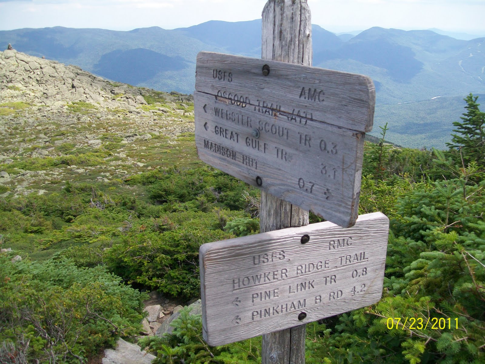
The climbing continues. We finally hit ridgeline, and the Carter-Moriah trail w/ its new sign.

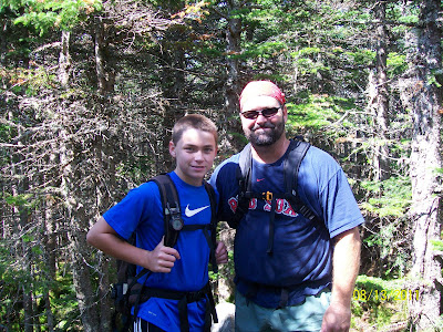
And look who comes up behind us.

9:15am and we've gained over 3,000' in just over 4 miles and 2.5 hrs.
Heading south on the ridge, we walk across quite a few sections of bridges protecting soft areas and keeping our boots clean.


Most of today's hiking would be in the trees, but some tremendous views presented themselves here and there. Our first goal, Middle Carter, is the 2nd peak back.

Looking East towards Evans Notch and the Baldfaces.

The northern Pressies: Jefferson, Adams, and Madison. Hey, we just hiked those!!

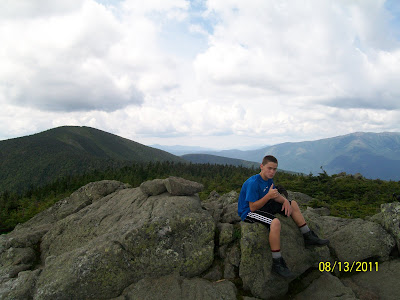
We know we're close, and all of a sudden we start going down again. After 100' or so, we pull a u-turn. Did we miss it? Yes. A small rockpile on the side of the trail with no sign. Our summit pic.

And just off the trail, looking back north to the ridge we just came up.

Moving along down the ridge, came across some flats with majestic views. You know the Mtns.

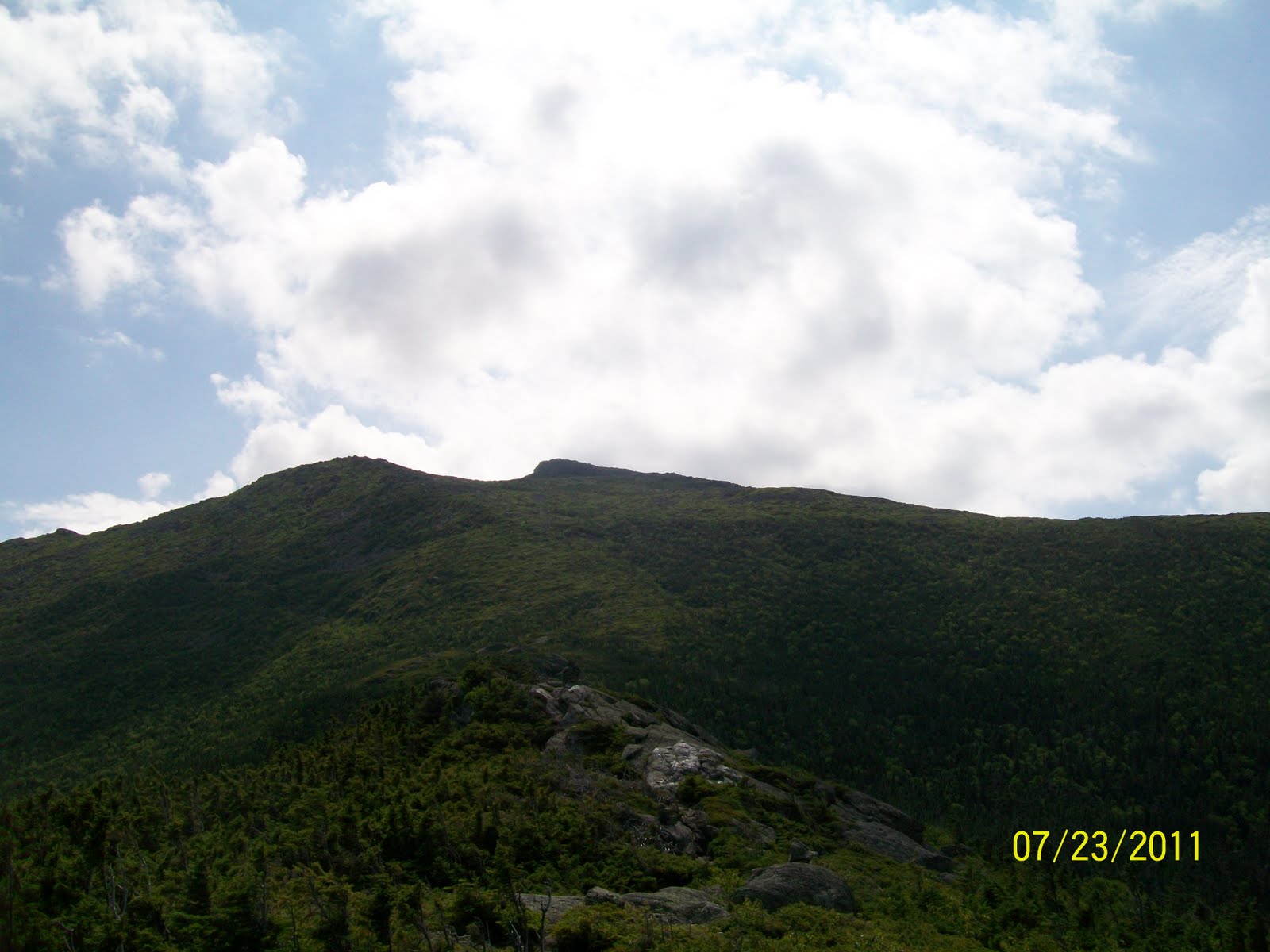
This one has Washington on the left. The summit had just come out of the clouds.

Keep those feet moving, and we're on top of South Carter in 4 hours. You can just see the small summit cairn behind us in this photo.
Moving south and down the ridge, we hit the low spot, Zeta Pass. If Thomas and I had kept to our original trail plan, we would have hit the ridge here for our out and back. We also might have headed down as the ridge wouldn't have been fun doing it twice. But we felt good w/ the loop, and off we go to Carter Dome. From Zeta Pass 0.2 miles up, the trail splits.

We go left to Mt. Hight (4,675'), an unofficial 4,000 footer, but the best views of the day on an open, rocky summit. A perfect spot for lunch at 12:30. Thomas, with the Pressies and Ed'N'Lauky behind him.


We all take a relaxing break for food. Thomas gives the thumbs up for our last peak behind him, Carter Dome.


Most of today's hiking would be in the trees, but some tremendous views presented themselves here and there. Our first goal, Middle Carter, is the 2nd peak back.

Looking East towards Evans Notch and the Baldfaces.

The northern Pressies: Jefferson, Adams, and Madison. Hey, we just hiked those!!

We know we're close, and all of a sudden we start going down again. After 100' or so, we pull a u-turn. Did we miss it? Yes. A small rockpile on the side of the trail with no sign. Our summit pic.

And just off the trail, looking back north to the ridge we just came up.

Moving along down the ridge, came across some flats with majestic views. You know the Mtns.

This one has Washington on the left. The summit had just come out of the clouds.

Keep those feet moving, and we're on top of South Carter in 4 hours. You can just see the small summit cairn behind us in this photo.

Moving south and down the ridge, we hit the low spot, Zeta Pass. If Thomas and I had kept to our original trail plan, we would have hit the ridge here for our out and back. We also might have headed down as the ridge wouldn't have been fun doing it twice. But we felt good w/ the loop, and off we go to Carter Dome. From Zeta Pass 0.2 miles up, the trail splits.

We go left to Mt. Hight (4,675'), an unofficial 4,000 footer, but the best views of the day on an open, rocky summit. A perfect spot for lunch at 12:30. Thomas, with the Pressies and Ed'N'Lauky behind him.


We all take a relaxing break for food. Thomas gives the thumbs up for our last peak behind him, Carter Dome.

You can see the ridgeline and top, less that a mile away. Let's go! We put our heads down and bull away knowing the steep climbing is behind us. We're there before we know it. #20 in the books. It's all downhill from here.

There were a few people up top, and we said hello and talked some. Ed and I taking a picture of each other at the same time.

Clouds start to roll in.Time to go. We take in our last views from up high on the day.


The only thing between us and our sandals is 5 miles and 3300' of downhill vertical. Some quick pics on the way down. Still have a fascination w/ trail signs.


And we're down! The feet and knees are sore. We're out of water. We've been hiking all day. Why is this guy happy?

Total hike time was 8.5 hrs. Big thanks to Ed('N'Lauky). Without that different routing, we may not have gotten Carter Dome. Ed- We have to stop meeting like this! ;-)

Total hike time was 8.5 hrs. Big thanks to Ed('N'Lauky). Without that different routing, we may not have gotten Carter Dome. Ed- We have to stop meeting like this! ;-)
One cool note about this hike is the fact that in doing the loop we did, out of 13.5 miles, we only backtracked on a 0.2 and 0.4 mile section. Both of them coming down from Carter Dome to Zeta Pass. Made it back to the Bethel area by 4pm, more than enough time to go hit Frenchman's Hole w/ the family, which we did. Another great day in the mountains. And 20 down. Woo-Hoo!!
And for those of you who are conspiracy theorists, and noticed that the date stamp on the pics are not all the same date, I noticed the date was wrong sometime in the morning and changed it. So there you go. :-b
'Til next time.............................................
(( *
*))
((*
*))